



The Trimble Geo XT 6000 Series GeoExplorer is a professional-grade handheld GNSS data collector designed for high-precision GIS mapping, asset management, and field data capture. Built with advanced GNSS technology, rugged construction, and integrated wireless connectivity, it delivers reliable submeter accuracy in real-time and enhanced precision after postprocessing.
Why Choose Trimble Geo XT 6000 GeoExplorer?
Organizations working in surveying, GIS mapping, utilities, and infrastructure management require a device that combines accuracy, durability, and efficiency. The Geo XT 6000 is engineered to meet these demands with:
- Submeter real-time GNSS accuracy
- Advanced postprocessing capabilities (up to centimeter-level with extended logging)
- Integrated camera and wireless connectivity
- Rugged, field-ready design (IP65 rated)
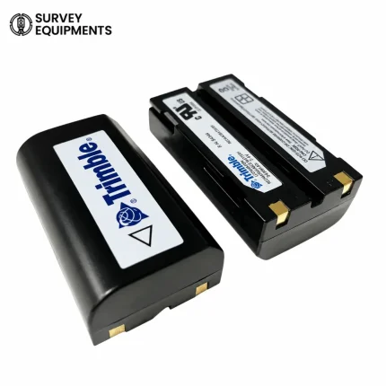
- Long battery life with hot-swappable functionality
This makes it an ideal solution for professionals who need reliable spatial data collection in challenging environments.
Key Features of Trimble Geo XT 6000 Series
1. High-Accuracy GNSS Performance
The Geo XT 6000 is powered by the Trimble Maxwell™ 6 GNSS chipset, delivering:
- Submeter accuracy in real-time
- 50 cm accuracy after postprocessing
- Optional tracking of GPS + GLONASS satellites
- Support for SBAS corrections (WAAS, EGNOS, MSAS)
Benefits:
- Reliable positioning in urban and remote areas
- Reduced field revisits
- Improved data integrity
2. Trimble Floodlight™ Technology
One of the standout innovations is Floodlight satellite shadow reduction technology, which enhances signal reception in difficult environments.
Advantages:
- Better accuracy near buildings or dense foliage
- Improved productivity in urban canyons
- More consistent GNSS positioning
3. Rugged Field-Ready Design
Built for demanding environments, the device features:
- IP65 rating (dustproof and water-resistant)
- Drop resistance up to 1.2 meters
- Operating temperature: –20°C to +50°C
Practical Impact:
- Works in extreme weather conditions
- Suitable for construction, mining, and field surveying
- Reduced equipment downtime
4. Sunlight-Readable Display
The 4.2-inch transflective display ensures visibility in all lighting conditions.
- Optimized for direct sunlight use
- Crisp text and vibrant mapping visuals
- Easy touch interaction for field operations
5. Integrated Wireless Connectivity
The Geo XT 6000 supports multiple communication options:
- Wi-Fi (802.11 b/g)
- Bluetooth 2.1 + EDR
- Optional 3.5G cellular modem
Use Cases:
- Real-time data synchronization
- Remote collaboration with office teams
- Access to live GIS databases and correction services
6. Built-In 5 MP Camera with Geo-Tagging
Capture high-quality images directly linked to GIS data.
- Autofocus 5 MP camera
- Automatic geo-tagging
- Integration with field software
Benefits:
- Visual documentation of assets
- Improved reporting accuracy
- Faster inspection workflows
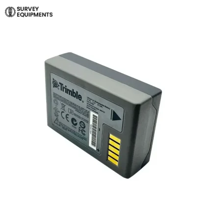
7. Long-Lasting, Swappable Battery
Designed for continuous field use:
- Up to 11.5 hours runtime (GNSS only)
- Hot-swappable battery (no shutdown required)
- Fast recharge (~4 hours)
8. Powerful Hardware Performance
Equipped with:
- TI OMAP 3503 processor
- 256 MB RAM
- 2 GB internal storage + SDHC expansion (up to 32 GB)
This ensures smooth operation of GIS applications and handling of large datasets.
What’s Included (Refurbished Package)
- Trimble Geo XT 6000 Series GeoExplorer Unit
- Stylus
- AC Adapter / Charger
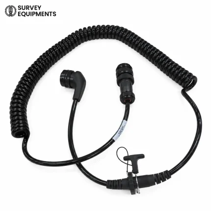
- USB PC Interface Cable
- User Manual (CD)
- Protective Case
- Carrying Case
Condition: Refurbished
Warranty: 1 Year
Shipping: Australia
Technical Specifications
| Category | Specification |
| GNSS Receiver | Trimble Maxwell™ 6 |
| Channels | 220 |
| Satellite Systems | GPS, GLONASS, SBAS |
| Accuracy (Real-Time) | < 1 meter |
| Accuracy (Postprocessed) | 50 cm |
| Display | 4.2″ Transflective LCD |
| Resolution | 480 x 640 |
| Camera | 5 MP Autofocus |
| Battery | Li-Ion 11.1V |
| Runtime | Up to 11.5 hours |
| Storage | 2 GB + SDHC (32 GB max) |
| Connectivity | Wi-Fi, Bluetooth, Optional 3.5G |
| Protection | IP65 |
| Weight | 925 g |
| Operating Temp | –20°C to +50°C |
Applications & Use Cases
1. GIS Mapping and Data Collection
Ideal for capturing spatial data with high accuracy for:
- Land surveys
- Environmental mapping
- Infrastructure planning
2. Utility Asset Management
Used by utility companies for:
- Mapping pipelines and cables
- Maintenance tracking
- Field inspections
3. Government and Municipal Projects
Supports:
- Urban planning
- Public infrastructure management
- Disaster response mapping
4. Construction & Surveying
Enables:
- Site layout verification
- Project monitoring
- Accurate positioning data
5. Agriculture & Environmental Monitoring
Useful for:
- Precision farming
- Soil and crop mapping
- Environmental research
Performance Advantages Over Standard GPS Devices
Unlike consumer-grade GPS units, the Geo XT 6000 provides:
- Professional GNSS accuracy
- Advanced correction capabilities
- Integration with GIS software
- Durable industrial-grade build
This makes it a true enterprise-level data collection solution.
Software Compatibility
The device integrates seamlessly with:
- Trimble TerraSync™
- GPS Pathfinder® Office
- GPS Analyst™ (for Esri ArcGIS)
Benefits:
- Easy data processing
- Improved workflow efficiency
- Accurate GIS data integration
User Experience & Field Efficiency
Designed for Productivity
The Geo XT 6000 is engineered to reduce operational friction:
- Fast startup and positioning
- Intuitive controls
- Minimal training required
Enhanced Workflow
- Capture data, photos, and coordinates in one device
- Sync instantly with office systems
- Reduce manual errors
Frequently Asked Questions
What accuracy does the Trimble Geo XT 6000 provide?
The device offers submeter accuracy in real-time and up to 50 cm accuracy after postprocessing, with even higher precision possible using advanced techniques.
Is the Trimble Geo XT 6000 suitable for professional surveying?
Yes, it is widely used for GIS mapping, asset management, and surveying tasks where submeter accuracy is required.
Does this device support GLONASS satellites?
Yes, it supports GPS and optional GLONASS tracking, improving accuracy and signal availability.
Can I use the device in harsh weather conditions?
Absolutely. With an IP65 rating, it is resistant to dust, water, and extreme temperatures.
How long does the battery last?
The battery lasts up to 11.5 hours depending on usage and can be swapped without shutting down the device.
Does it support real-time data transfer?
Yes, through Wi-Fi, Bluetooth, and optional cellular connectivity, enabling real-time collaboration.
Can I expand storage?
Yes, it supports SDHC cards up to 32 GB, allowing storage of large GIS datasets.
Is this product new or refurbished?
This listing is for a refurbished unit, fully tested and backed by a 1-year warranty.
Is Trimble Geo XT 6000 Worth It?
The Trimble Geo XT 6000 Series GeoExplorer remains one of the most reliable and cost-effective handheld GNSS solutions for professionals who require accuracy, durability, and efficiency in field data collection.
Best For:
- GIS professionals
- Surveyors
- Utility companies
- Government agencies
Key Value:
- High-accuracy GNSS performance
- Rugged, field-ready design
- Strong connectivity and integration
If your goal is to improve field productivity while maintaining precise spatial data, the Geo XT 6000 is a proven and trusted solution.









Reviews
There are no reviews yet.